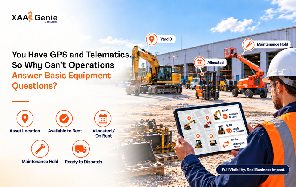

And yet the same teams still get stuck on questions that should be simple:
- Is this unit actually free?
- Which project is it tied to?
- Has the customer asked for release?
- Can we dispatch it today without creating a mess downstream?
- Does finance even have the right reference?
You can see the asset on a screen. You still can’t fully act on it. That gap is why GPS and telematics, on their own, rarely close the Equipment Visibility Gap.
Knowing where something is isn’t the same as knowing what you can do with it
GPS is good at one job: telling you where an asset is right now.
It is much weaker at the questions that actually keep the business moving. A pin on a map doesn’t tell you if the unit is reserved, waiting on inspection, tied to customer, cleared for release, or already reflected correctly in billing. Those answers live somewhere else, in warehouse processes, project records, customer requests, and financial systems.
When those pieces don’t talk to the location data, the map becomes only half the story. Someone still has to call the yard. The customer still has to call for an update. Leadership still ends up waiting while the full picture gets assembled by hand.
This isn’t rare. Plenty of operators have invested in tracking technology, yet many still point to data accessibility, not a lack of devices, as the real barrier to better utilization. Location improves. The ability to answer availability and release questions from one place often does not. Assets sit longer than they should simply because the information needed to move them is scattered.
Why the technology can feel like it’s only halfway there
Most companies add GPS or telematics on top of the way they already work. They get a new feed. They don’t automatically redesign how context moves through the business.
The sequence that actually runs the operation usually looks like this:
Customer → Project → Equipment → Location → Movement → Release → Dispatch → Billing
Tracking strengthens the “Location” step. If project ownership, status, release readiness, and billing still live in separate places, people keep carrying the information between them. The tools are digital. The operating model is still held together by phone calls and follow-ups.
That’s why an ops manager can stare at a map, see the unit, and still not feel confident committing it. The map doesn’t know if it’s already promised, due for service, or sitting in a status that hasn’t been updated. Someone still has to go find out.
You see this play out every week in rental and storage businesses. A customer asks for a specific machine. The system shows a location. The yard has a different read on status. Maintenance has another view. By the time everyone lines up, the window has narrowed or the customer has moved on.
A clearer way to look at where you actually stand
Instead of asking “Do we have tracking?” it’s more useful to ask how mature the overall visibility really is.
A simple way to think about it:
Manual : People are the system. Status depends on who you ask. Spreadsheets and calls do most of the heavy lifting.
Digitally assisted : You’ve got tracking tools and some digital processes, but the picture is still fragmented. Location may be clear while release, project, and financial context are not.
Connected : Most of the operational information lives in a shared view. The big hand-offs are reduced.
System-led : The chain is controlled by structured workflows and current information. Basic questions get answered from the system, not from people.
A lot of growing equipment businesses sit in that middle zone. They’ve bought the tools. They haven’t fully connected the chain. GPS and telematics often move them out of pure manual mode without getting them all the way to connected.
What changes when location sits inside a real operating view
When location data is tied to project, status, movement history, and release readiness in the same place, the day-to-day feels different.
Availability answers come faster and with more confidence. Release and dispatch decisions use the same information the warehouse already has. Customers can check relevant status without picking up the phone. Leadership can see occupancy and exceptions without waiting for a compiled report.
One US equipment and logistics operation that connected warehouse execution with customer records and financial context saw dispatch turnaround improve by more than 40% and routine customer status calls drop by nearly 90%. The change wasn’t more dots on a map. It was making location, status, and readiness travel together.
Where to start
If you already have GPS or telematics and still can’t answer basic equipment questions without involving several people, the missing piece isn’t another tracking device. It’s operational visibility that actually connects the dots.
A practical place to begin is a short, honest look at where the chain breaks:
- Can you see current location and status for the assets that matter?
- Is equipment clearly tied to projects or customers?
- Can release requests move with the right context attached?
- Does leadership have a live view, or does it still rely on assembled updates?
- Do customers have any way to see their own inventory and status without calling?
Those questions are the starting point for an Equipment Operations Visibility assessment. The point isn’t to sell software. It’s to get a clear read on current maturity, the biggest gaps, and where connecting the chain would remove the most friction.
You may already know where the equipment is. The more valuable question is whether the operation can act on that knowledge without asking someone first.